Nor’easter Shows How Risk Rating 2.0 Accurately Rates Homes

By: Joe Rossi
On April 1, Risk Rating 2.0 began its full implementation. As more National Flood Insurance Program (NFIP) policies are written and renewed into the new rating system, it is apparent that Risk Rating 2.0 is meeting its goal of communicating a building’s unique flood risk and accurately reflecting that risk in a building’s premium.
While some may be skeptical, Risk Rating 2.0 has been showing itself to be effective in measuring risk, especially in instances where it has been proven right by Mother Nature herself. In one specific example, what may not have appeared like a logical premium adjustment under Risk Rating 2.0 made sense after a major flood.
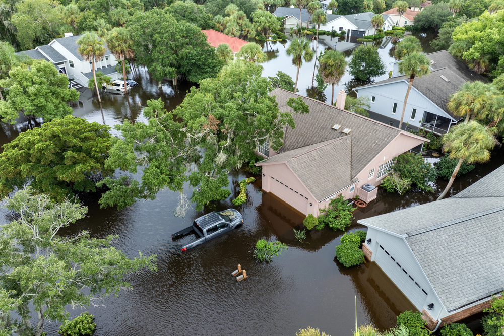
In the town of Marshfield, Massachusetts, there are dozens of inlets buffered by the marshes the town is named after. Marshfield is a town with two major tidal rivers and over five miles of Atlantic Ocean waterfront. Year after year, the nation watches on primetime news as Marshfield experiences damaging nor’easters.
In one of the inlets in the north part of town, there is a ridge roughly 800 feet long that is protected by uplands and marsh on one side and a tidal river on the other. At the end of the ridge is a peninsula that juts out toward the mouth of another tidal river.
Six houses span the ridge. The outermost house sits on the peninsula where the ridge ends and the home several houses away sits slightly more inland on the ridge but remains somewhat protected by marsh and natural land. These two homes are only about 800 feet apart—but have drastically different flood exposures.
The more inland home is elevated by a 2-foot crawlspace and has a $2,000 NFIP legacy flood insurance premium, while the outermost home is elevated by a 5-foot crawlspace and has a $500 NFIP legacy flood insurance premium. Both structures are newer constructions and have a similar replacement cost. Under the legacy rating system, the only risk information affecting the premium is the flood zone—Zone AE for both houses—and the elevation of the buildings.
However, Risk Rating 2.0 takes a different approach to rating. By looking at the distance to water, elevation, replacement cost and other rating factors, the more inland home on the ridge is projected to see a NFIP Risk Rating 2.0 premium of about $1,000, half of the legacy premium. The more exposed peninsula home is projected to pay a premium of $1,700, more than 3 times the legacy premium.
When looking at the two structures, it doesn’t appear to make sense why a building that is relatively new construction elevated 5 feet above the ground with proper flood openings would see a projected threefold premium increase. It also doesn’t appear to make sense why a building only 800 feet away on a 2-foot crawlspace would see a premium cut in half.
But after a significant nor’easter that recently flooded the ridge, the results show how Risk Rating 2.0 got the risk right.
The outermost home on the ridge, which sits on the peninsula facing the open mouth of the tidal river, suffered no flood damage to the first livable floor, but water came within 6 inches of the first floor and surrounded almost the entire building. The more inland house on the ridge, while only 800 feet away and still exposed to marsh flooding, remained dry and water did not get closer than 50 feet to the building.
This is only one story about premiums changing under Risk Rating 2.0 to better reflect flood risk. There will be situations where Risk Rating 2.0 never gets put to the test, but the new rating methodology is more effective at communicating risk and rates premiums in a way the NFIP never has before.
Explaining stories like this to insureds will be the first step in providing assurance that the rate more accurately reflects the risk.
Joe Rossi is CEO and President of Joe Flood Insurance Brokerage in Carver, Massachusetts, and chairman and executive director of Massachusetts Coastal Coalition.
This month’s issue

The July issue is out now!