2025 Hurricane Season: Storms Steer Clear of US but Undergo ‘Rapid Intensification’
This week marked the end of the 2025 hurricane season—and the U.S. escaped largely unscathed.
Before the season began, the National Oceanic and Atmospheric Administration (NOAA) forecast a busier-than-average Atlantic hurricane season, with 13–19 named storms expected. By the end of the season, the Atlantic basin produced 13 named storms, of which five became hurricanes and four reached “major” strength, which is defined as Category 3 or stronger.
“For the first time in a decade, not a single hurricane struck the U.S. this season, and that was a much-needed break,” said Neil Jacobs, under secretary of commerce for oceans and atmosphere and NOAA administrator.

Big “I” Fall Leadership Conference
Sept. 30 – Oct. 3
While the number of storms fell within NOAA’s predictions and the climatological peak of the hurricane season was quiet with no tropical activity, the season generated three Category 5 hurricanes, the second-most on record in a single season.
“Fortunately, short-term weather patterns largely steered tropical systems away from the United States,” said Ken Graham, director of NOAA’s National Weather Service.
“The 2025 season was the first year NOAA’s National Hurricane Center (NHC) incorporated artificial intelligence model guidance into their forecasts,” Jacobs added. “The NHC performed exceedingly well when it came to forecasting rapid intensification for some of the more impactful storms and provided critical decision support for our Caribbean partners.”
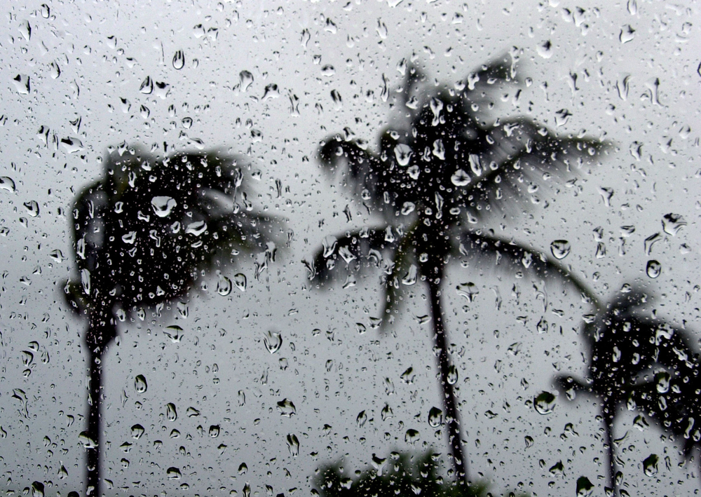
The one U.S. landfall came from Tropical Storm Chantal, which hit South Carolina in early July and caused rain and flooding. Hurricane Erin was the first Category 5 storm of the season and brought storm surge and tropical storm conditions to the North Carolina Outer Banks and rip currents along the East Coast.
More on Disaster Preparedness


In a growing trend, Erin underwent rapid intensification and is tied for the fifth-fastest 24-hour increase in maximum sustained winds on record, from 75 mph to 160 mph, according to NOAA.
However, the final storm of the season—Hurricane Melissa—carved a destructive path through the Caribbean in late October. After rapidly intensifying, Melissa made landfall in Jamaica as a Category 5 storm, emerging as one of the most powerful hurricanes ever recorded in the Atlantic basin at landfall, according to reports.
NOAA pointed out that Melissa was “the fourth storm to undergo rapid intensification this year,” with a 115-mph wind increase in a 72-hour period, becoming the strongest hurricane to ever make landfall in Jamaica, surpassing the previous records by over 50 mph.
Many of the storms this hurricane season are a sign of things to come. While storms may not make landfall in the U.S., they are becoming increasingly unpredictable and intensify rapidly. Further, many storms continue to make landfall and cause destruction in vulnerable regions, such as Central America and the Caribbean.
Despite fewer hurricanes making landfall in the U.S., insurance company executives view severe convective storms (SCS) as the leading threat to their balance sheets, according to a survey conducted by Demex of American Property Casualty Insurance Association (APCIA) and National Association of Mutual Insurance Companies (NAMIC) members.
More Industry Trends


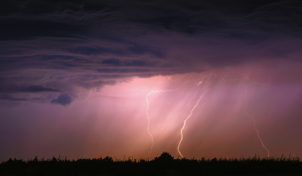
Severe convective storms are among the most common, most damaging natural catastrophes in the U.S., according to the Insurance Information Institute. They are the result of warm, moist air rising from the earth and manifest in various ways—from drenching thunderstorms with lightning, to tornadoes, hail or destructive straight-line winds.
Ranking perils that most impact their company’s annual earnings after reinsurance recoveries, 87% of respondents listed SCS at the top of their concerns. Only 13% expressed little to no concern about retaining future SCS losses.
Will Jones is IA editor-in-chief.
News Types
Agency Management Solutions
Insurance Markets
This month’s issue

The July issue is out now!