Better Risk Prediction and Claims Management Through Geospatial Technology

When a natural disaster hits, insurers dispatch an army of claims adjusters to determine the extent of the damage. Tallying the property losses takes time. Geospatial technology aims to shorten this process, resulting in quicker repairs to get policyholders back on their feet sooner.
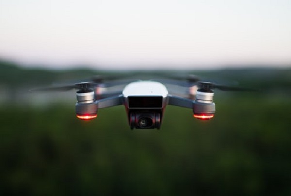
This technology analyzes photographic images of a physical location at specific times. The image is taken by a satellite, a camera-equipped drone or a smartphone. In an insurance context, the tool can be used to capture images of a house, industrial plant or office building, which enables underwriters to evaluate potential risk exposures and claims adjusters to assess post-disaster damage.
The Cincinnati Insurance Company is among a growing number of insurers using geospatial technology for claims management and underwriting. The insurer recently partnered with a software application provider that generates 3-D models of a physical structure based on geospatial images.
“In some cases, using the app can help us determine the potential for loss,” says John Crow, vice president of claims operations, Cincinnati. “This reduces the time it takes for the agent to quote the risk, increasing the chance they will secure the business.”
Accelerating Client Service
Cincinnati uses geospatial technology to collect, disseminate and analyze image data for claims purposes. In the aftermath of a natural catastrophe, aircraft or drones equipped with geospatial photo mapping software fly over homes and businesses to discern those most affected by the disaster, before the first claim is even filed.
“Previously, adjusters would wait for the claims to come in and then schedule appointments to view the damage at the various properties, which absorbs quite a bit of time,” Crow says.
Using an app on their cellphones, adjusters can jumpstart the claims process via imaged data, triggering needed repair services. In a catastrophe, resources like contractors, plumbers and electricians dry up fast, which means the sooner a policyholder is advised their claim will be covered, the sooner they can get their lives back in order.
The technology is also is a risk management resource for agents and policyholders. “By collecting satellite or drone images of the roof of an industrial building in an area prone to hailstorms, we can rapidly determine that a hail guard needed to deflect damage to the HVAC system is missing,” says Delin Shen, director of innovation and research at Cincinnati. “Armed with this information, agents can improve the customer relationship.”
In today’s competitive insurance marketplace, geospatial technology is a way for insurers to enhance their operating efficiencies; for agents to better serve their clients; and for policyholders to receive quicker claims resolution.
By Russ Banham, a veteran financial journalist and best-selling author.


